Potlocator allows you to enter a zip-code and view the locations of the nearest marijuana dispensaries on a Google Map.
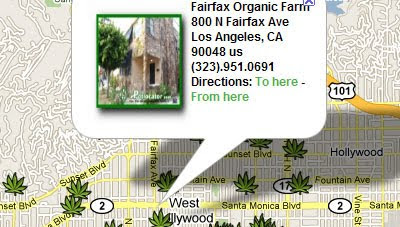
Dispensaries are shown on the map with marijuana leaf shaped markers. Clicking on a marker opens an information window with the name and address of the dispensary and the option to get driving directions.
The results of a search are also displayed beneath the map, where distances from your searched location are displayed and telephone numbers are given.
_______________


0 comments:
Post a Comment